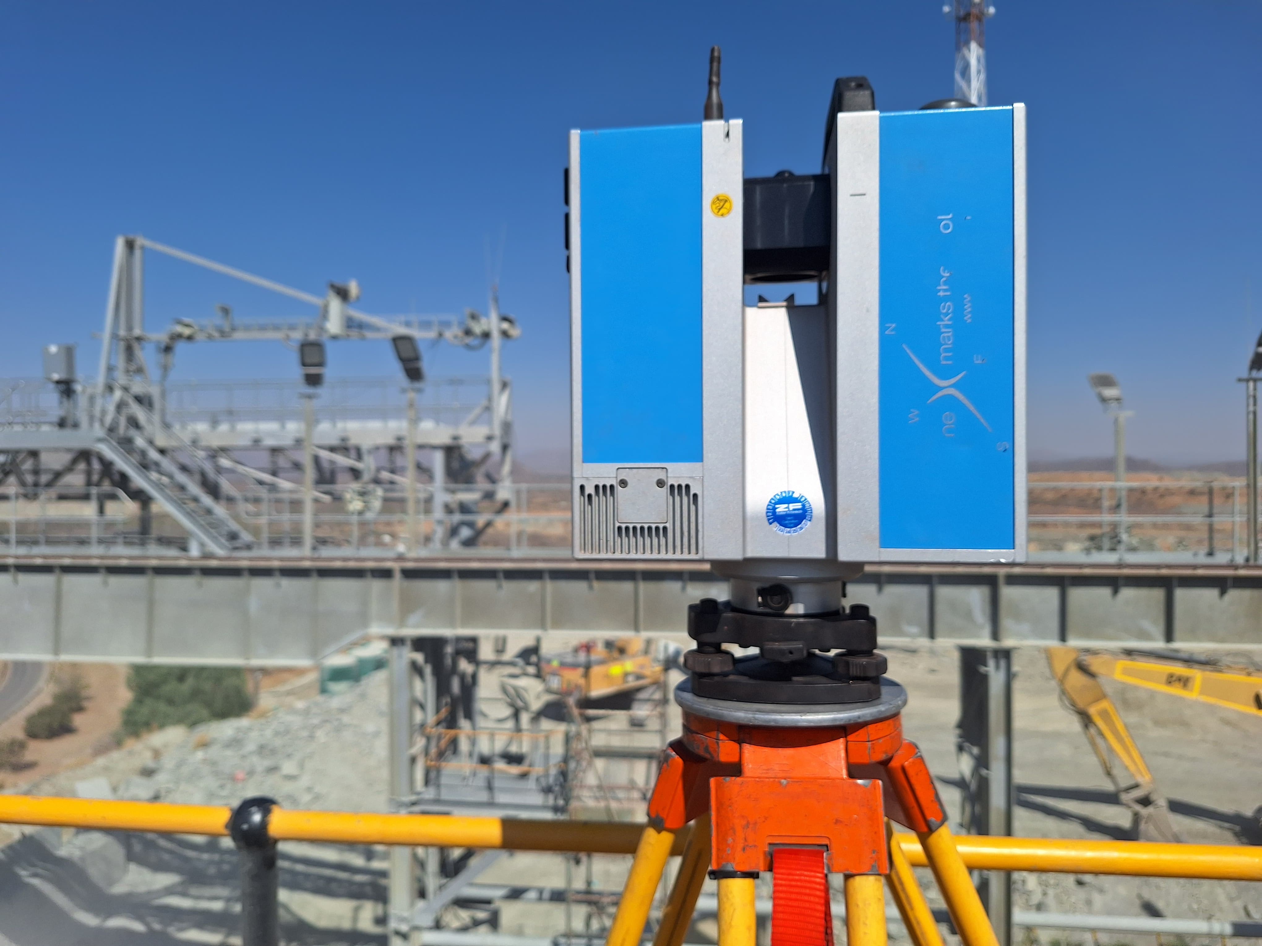
3D Laser Scanning
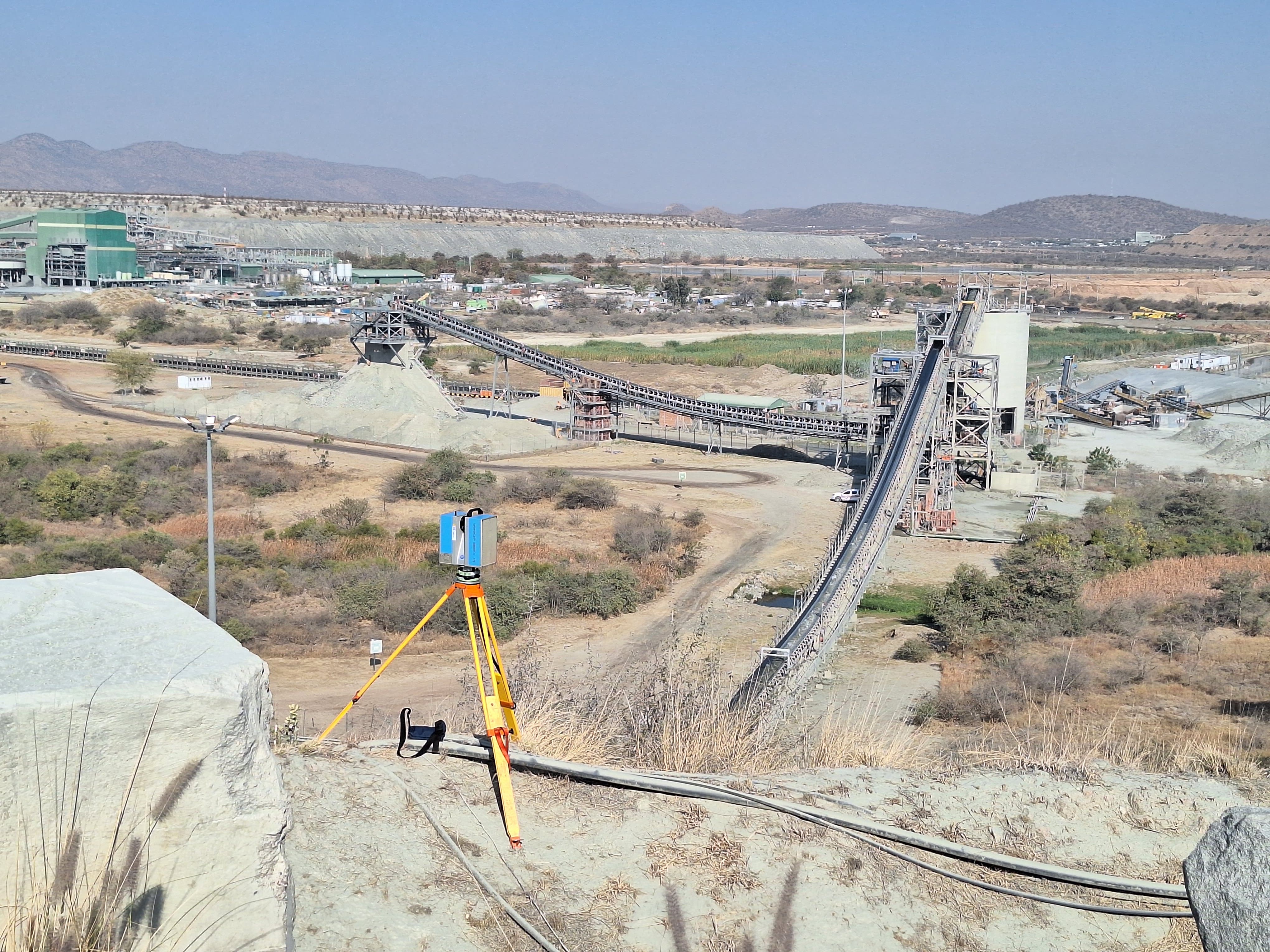
High-density point clouds of buildings, structures, and industrial assets. Ideal for as-built documentation, heritage recording, and clash detection in BIM workflows.
Accuracy: ±2mm · Range: 300mLearn More
SAGC Registered · B-BBEE Level 1
Accurate data. Defensible results. Surveys that protect your land, your project, and your investment.
Drone · LiDAR · 3D Scanning
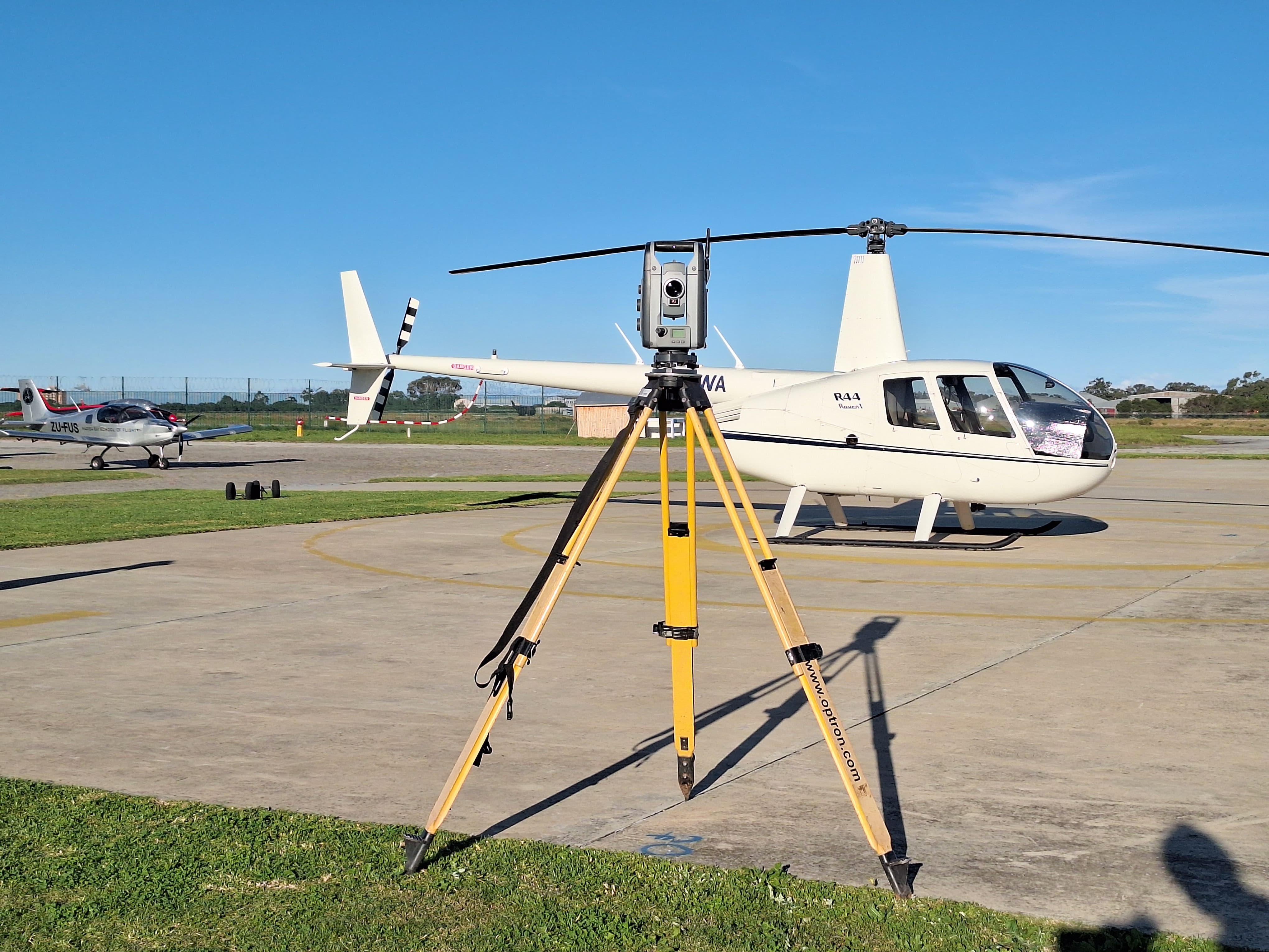
Sub-centimetre accuracy from the sky. DJI Matrice 300 + Leica LiDAR for rapid, large-area mapping.
Trusted by Mining, Construction & Property Leaders
Fixed-price quotes in 24 hours. OHS Compliant. Advanced Technology. Nationwide reach.
From underground utility detection to millimetre-accurate as-built surveys – we deliver data you can stake your project on.
High-density point clouds of buildings, structures, and industrial assets. Ideal for as-built documentation, heritage recording, and clash detection in BIM workflows.
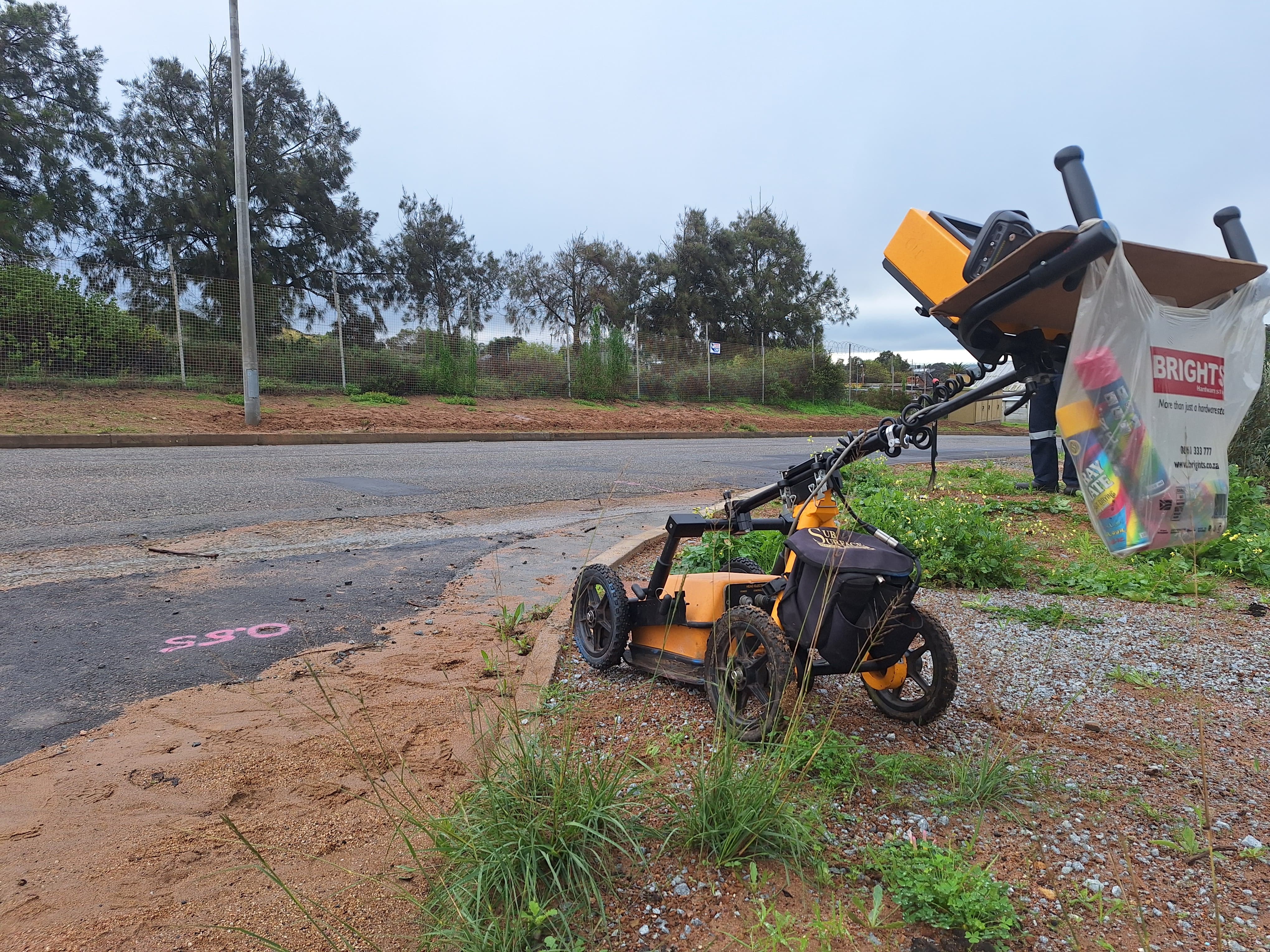
Accuracy: ±2mm · Range: 300mNon-destructive ground-penetrating radar surveys to locate buried utilities, voids, and sub-surface anomalies before excavation – preventing costly damage and delays.
Depth: up to 5m · Resolution: 50MHz–1GHzRapid large-area mapping using DJI Matrice 300 with integrated LiDAR. Cover hundreds of hectares in a single flight with sub-centimetre ground accuracy.
GSD: ≤2cm · Coverage: 200ha/flightDetailed terrain models capturing contours, drainage features, buildings, and services. The foundation for every successful development application and engineering design.
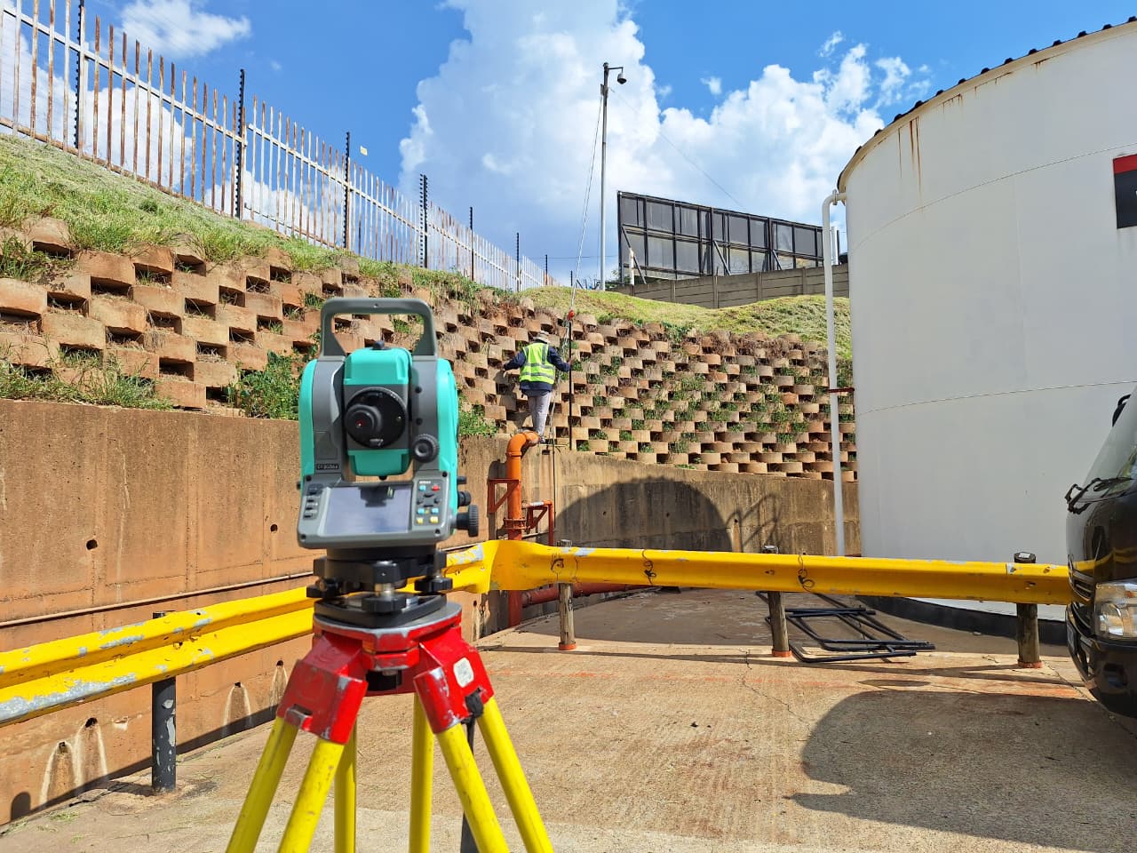
Accuracy: ±20mm H | ±30mm VVolumetric calculations, blast monitoring, deformation surveys, and mine-plan updates. We work safely in active underground and open-cast environments.
Volume Accuracy: ±0.5% · MHSA CompliantControl networks, setting-out, as-built surveys, and deformation monitoring for infrastructure projects. Tight tolerances, fast turnaround.
Setting-out Accuracy: ±5mmProfessional AutoCAD and Civil 3D draughting of survey plans, sectional title diagrams, general plans, and municipal submission drawings.
Deliverables: DWG · PDF · SHP · LandXMLEvery survey we complete is a legal defence, a cost-saving measure, and a decision-enabling tool.
A single incorrect boundary line can cost millions in legal fees and demolition. Our SAGC-registered surveyors produce court-admissible records that stand up to scrutiny – protecting your land title for decades.
Delayed survey data = delayed approvals = delayed cashflow. We turn around topographic surveys in 3–5 business days and deliver digital data the same day as field completion.
Accurate volumetric data and precise terrain models help you extract maximum value from every hectare – whether you're developing, mining, or selling. Our clients average 8% better project yields with our data.
No vague estimates. No hidden costs. You'll receive a clear scope and fixed price within one business day of enquiry – giving you budget certainty from day one.
Projects Completed
Industry Experience
On-time Delivery Rate
OHS Compliant
A selection of recent surveys across Gauteng and beyond.
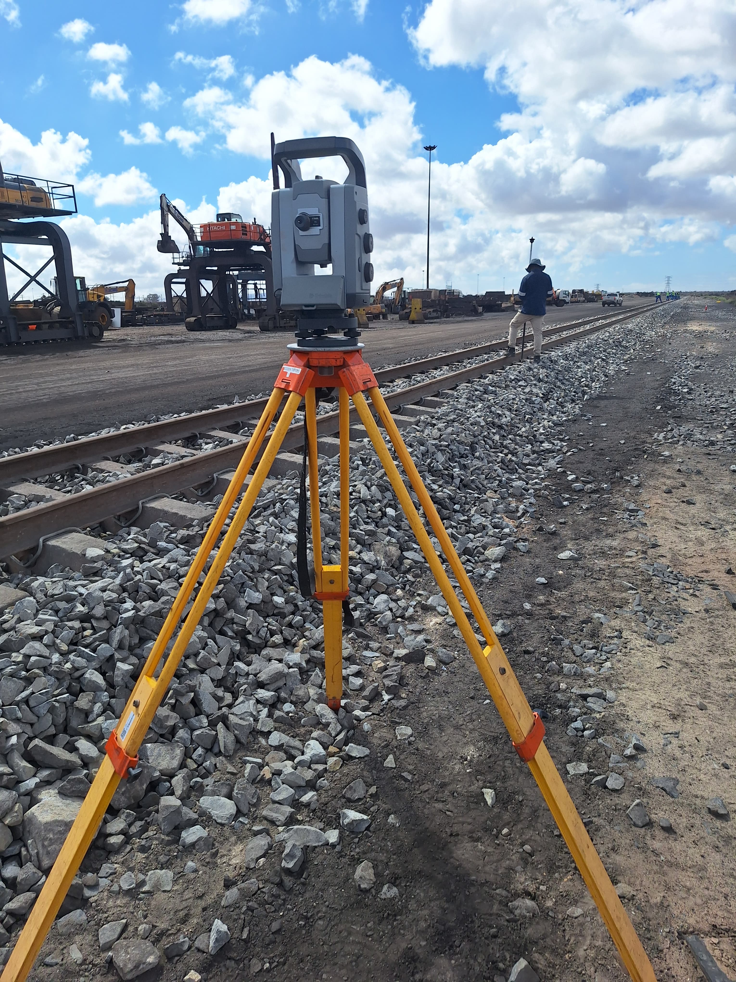 Engineering
Saldanha, Western Cape
32ha surveyed · 3km rail surveyed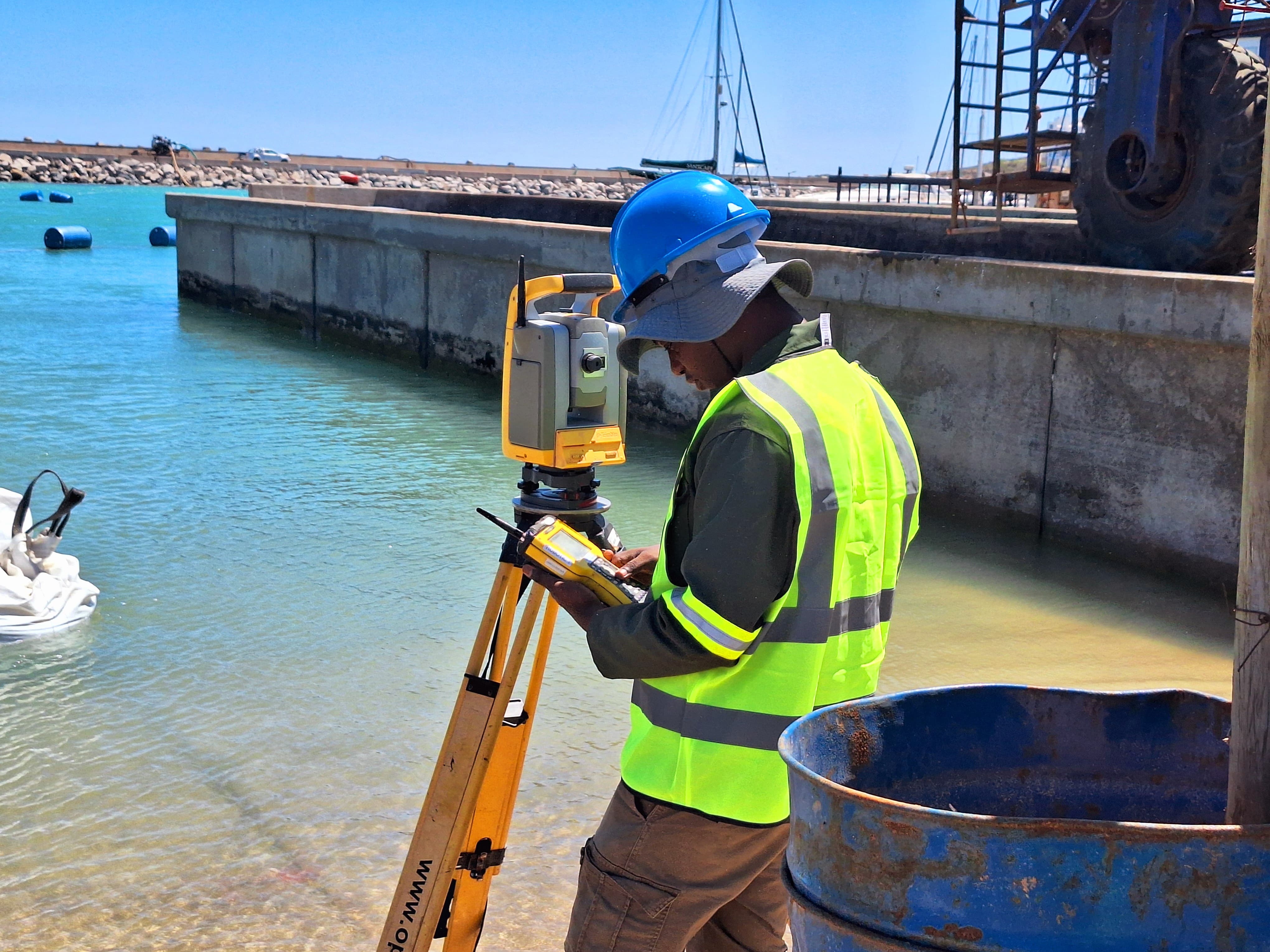 Engineering
Saldanha, Western Cape
Beach Front Building surveyed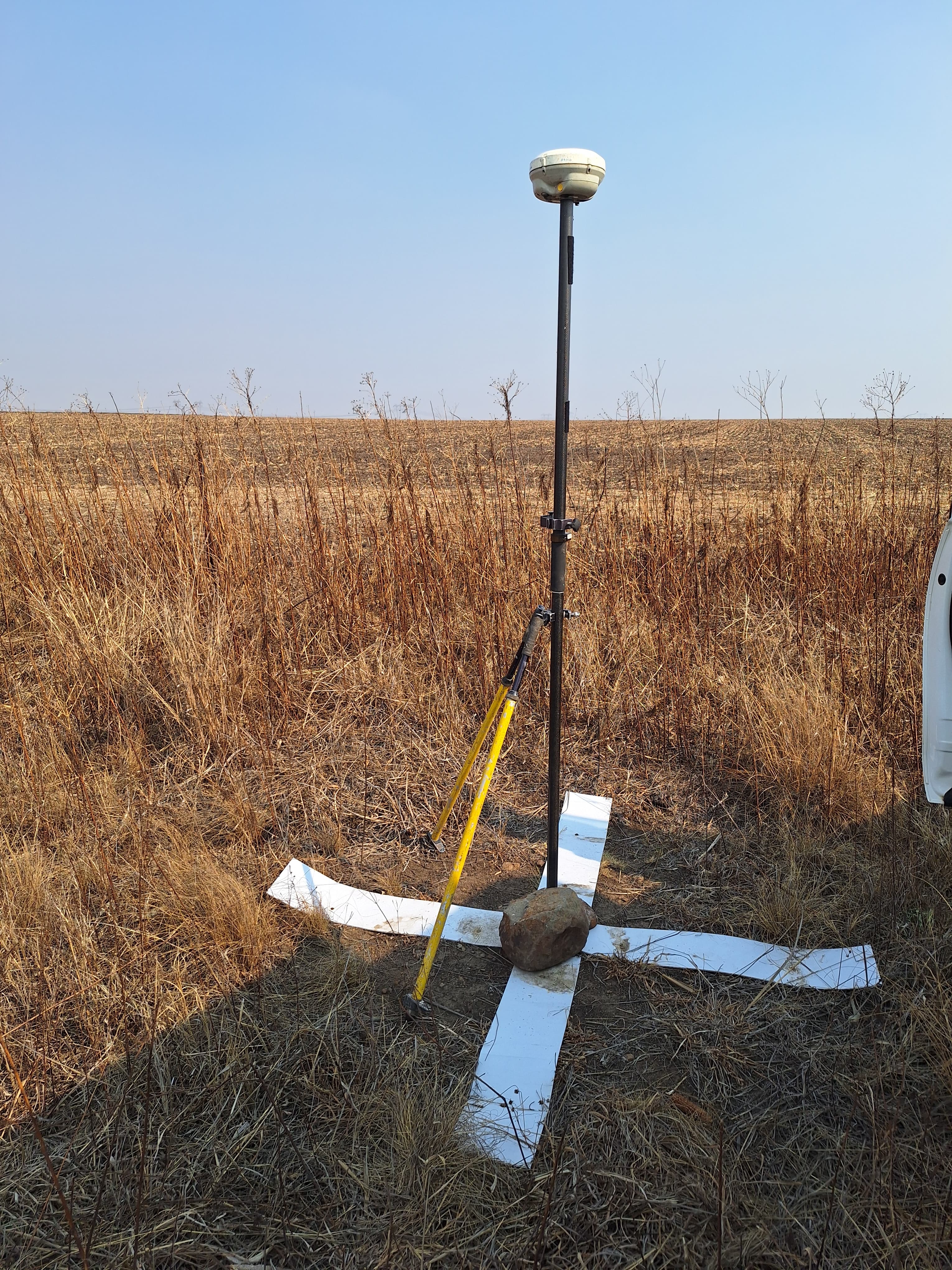 Geodesy
Secunda, Mpumalanga
100 ground control pointsResults that go beyond the survey report.
Mathibe Geomatics completed our topographical survey three days ahead of schedule and the data was directly importable into our Civil 3D model. No re-work, no surprises. Their fixed-price quote was honoured to the cent.
We hired Mathibe for GPR detection before a major excavation in Pretoria. They identified 17 buried services the municipality had no record of. That survey alone saved us from what could have been R2.3 million in damage claims.
As a mining company, we need stockpile volumes that our auditors trust. Mathibe's drone LiDAR surveys give us ±0.3% accuracy – far better than our previous manual methods – and the reports arrive the next morning after fieldwork.
Send us your project details and we'll respond with a scope and fixed-price quote within one business day. No obligation, no pressure.
4 Thepe Street, Ga-Rankuwa View, Pretoria, 0208
Monday – Friday: 08:00 – 16:00
For a detailed quote, visit our full quote page.