SAGC RegisteredB-BBEE Level 1

Projects That Define Our Standard

150+ completed surveys across mining, property development, infrastructure, and government – each delivered on time, on budget, and to spec.

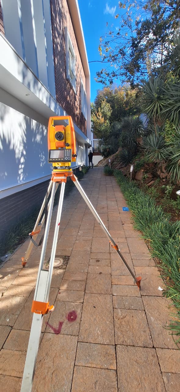
Commercial Development Midrand
Topographical

Commercial Development Site – Midrand

Midrand, Gauteng

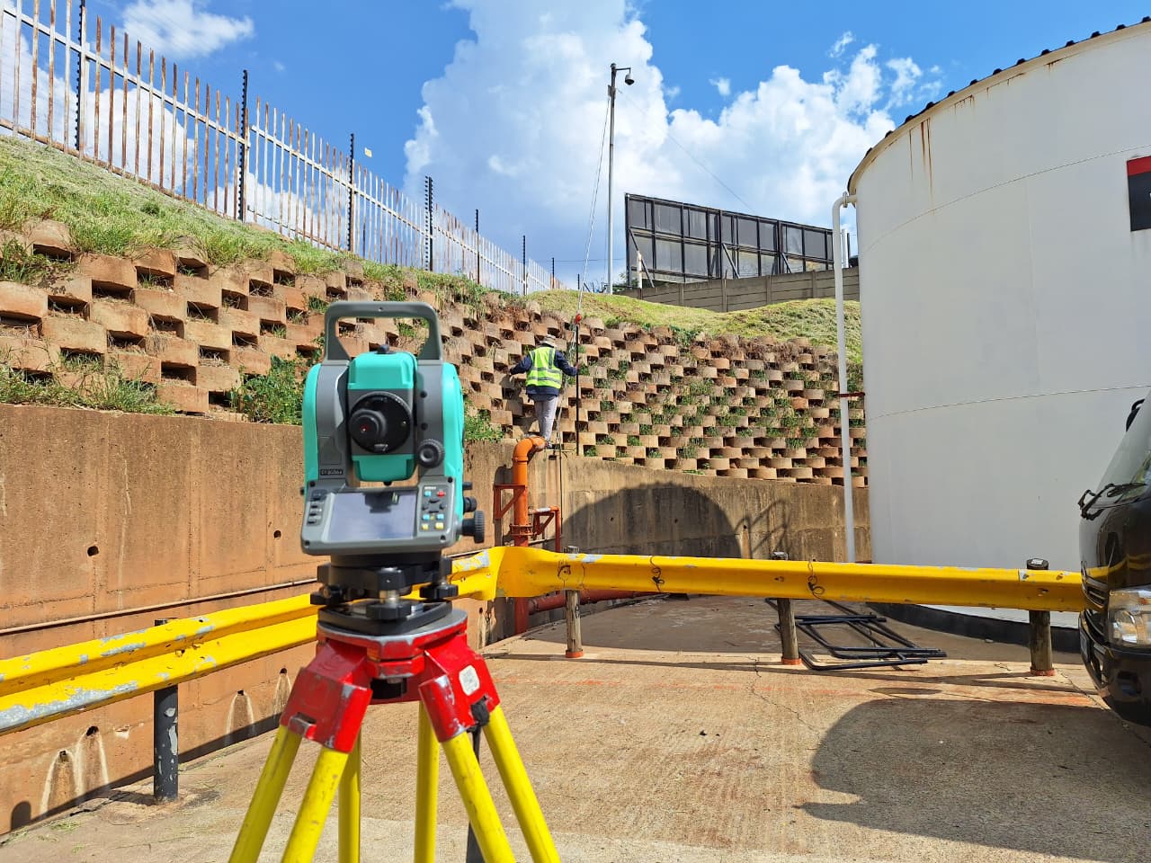
32-hectare topographic survey for a mixed-use commercial development. Delivered full Civil 3D terrain model and drainage analysis for municipal submission.

32ha · Municipal approval obtained in 6 weeks
Open-cast mine Limpopo
Mining

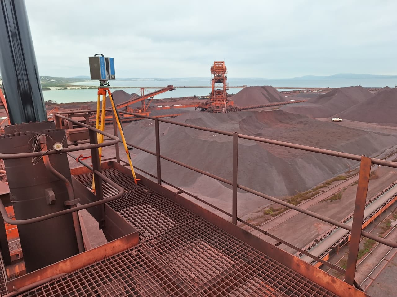
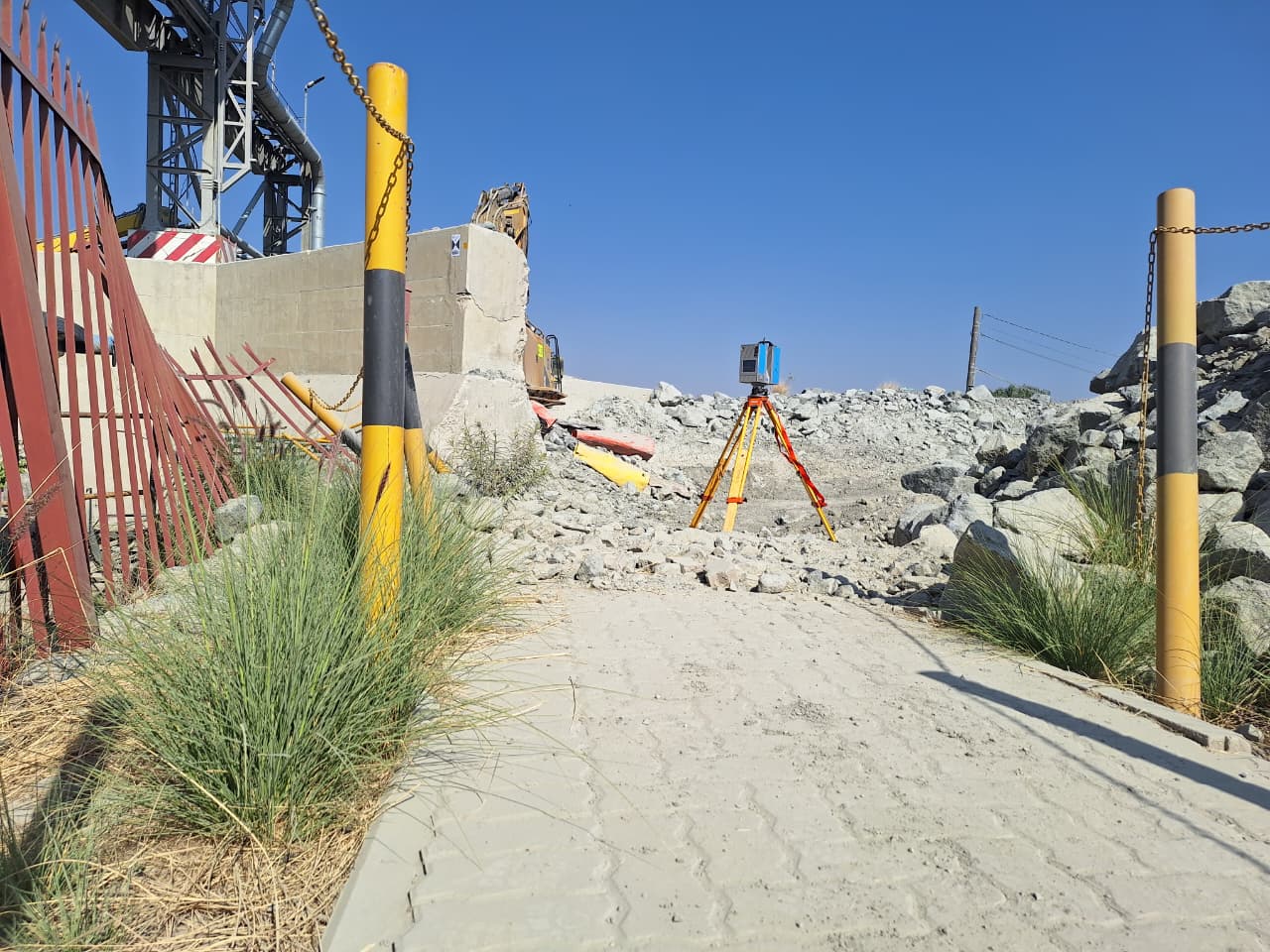
Open-Cast Mine Volumetrics – Mokopane

Mokopane, Limpopo

Monthly drone LiDAR stockpile volumetric surveys for an active platinum operation. Reports delivered by 08:00 the morning after fieldwork.

±0.3% volume accuracy · 18-month ongoing contract
Underground utility mapping Tshwane
GPR Detection

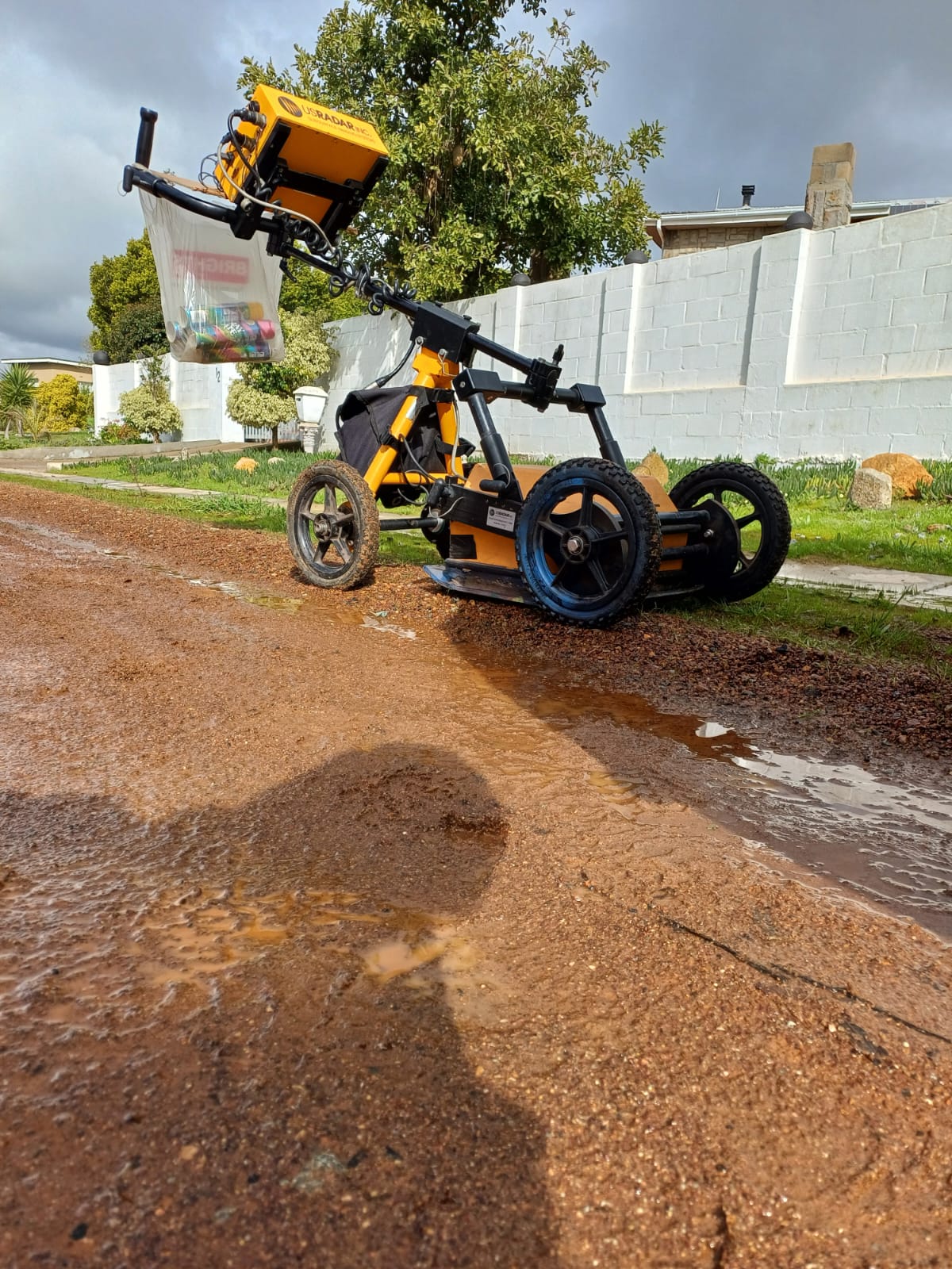
Underground Utility Mapping – Tshwane CBD

Tshwane, Gauteng

Pre-excavation GPR detection survey in a congested CBD environment. Identified 23 buried utilities absent from municipal records.

100 ground control points · Zero excavation damage
Drone LiDAR farm mapping
Drone & LiDAR

Agricultural Land Mapping – Mpumalanga

Bethal, Mpumalanga

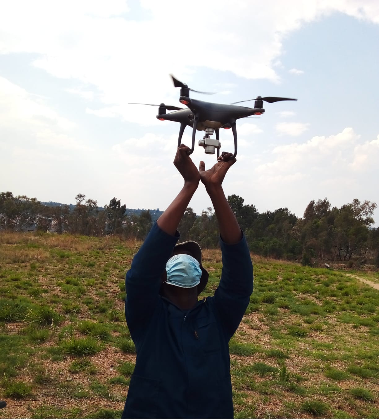
480-hectare drone LiDAR survey for an agricultural estate requiring precision terrain modelling for irrigation design.

480ha in 2 flights · GSD 2.5cm
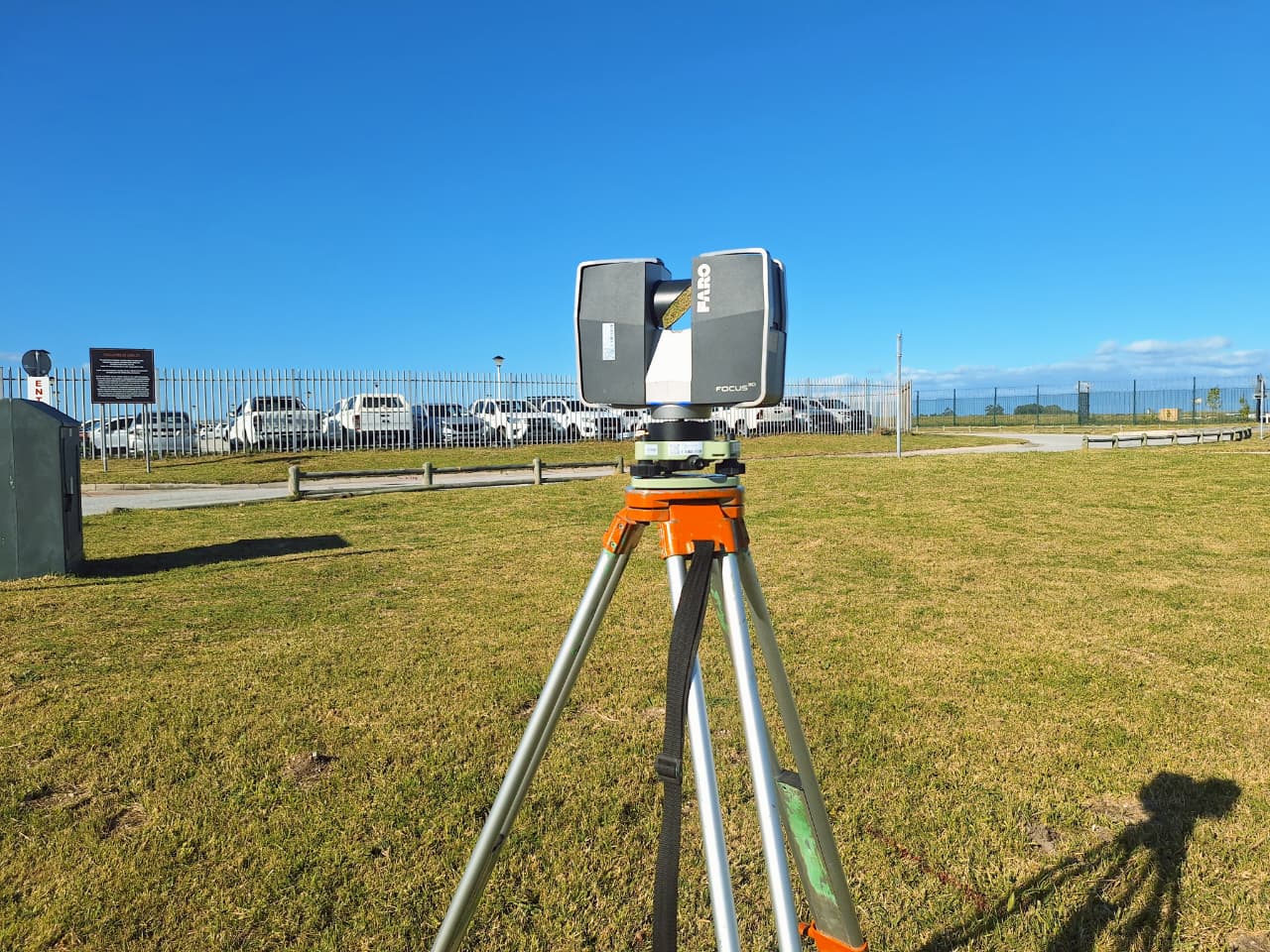
3D laser scanning heritage building
3D Laser Scanning

Heritage Building As-Built – Pretoria

Pretoria, Gauteng

Full interior and exterior 3D laser scan of a Grade II heritage structure for renovation and heritage documentation purposes.

±2mm accuracy · 1.2 billion points captured
Road infrastructure engineering survey
Engineering

Road Rehabilitation Setting-Out – North West

Rustenburg, North West

Alignment setting-out and as-built monitoring for 14km of provincial road rehabilitation. Weekly progress surveys delivered to contractor.

14km road · ±5mm setting-out accuracy
Residential estate survey Centurion
Topographical

Residential Estate – Centurion

Centurion, Gauteng

Topographic survey and sectional title diagram preparation for a 180-unit residential estate development submission to Tshwane Municipality.

180 units · Approval in 8 weeks
Underground mine survey
Mining

Underground Mine-Plan Update – Free State

Welkom, Free State

MHSA-compliant underground mine-plan survey update for a gold operation's Centurion lease area. Included blast monitoring control.

MHSA Compliant · Submitted to DMR on time
GPR void detection warehouse
GPR Detection

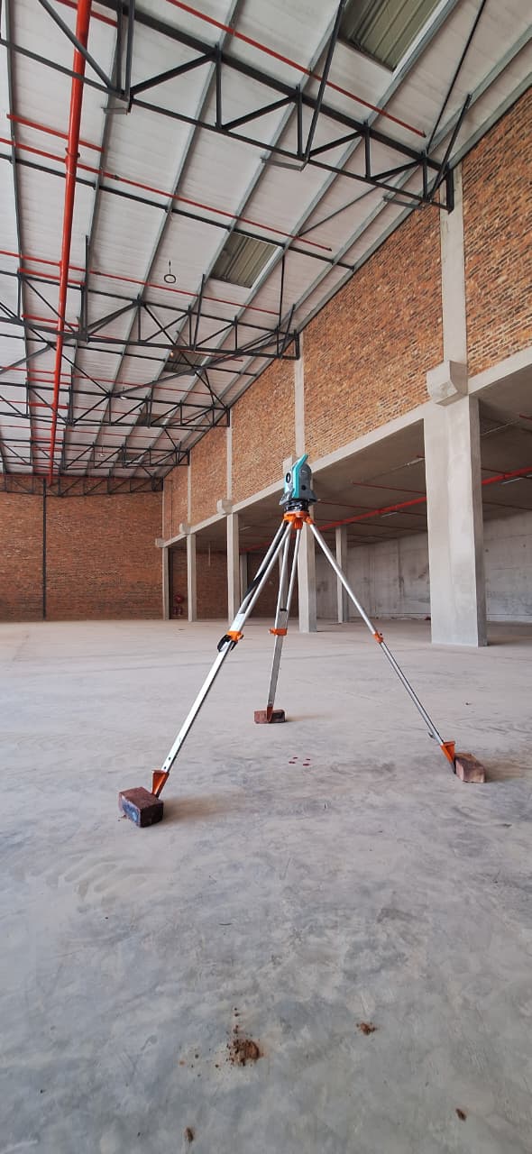
Sub-Slab Void Detection – Johannesburg

Johannesburg South, Gauteng

GPR void and delamination mapping beneath a 6,000m² industrial warehouse floor showing settlement and structural concern.

6,000m² mapped · 12 voids identified

Your Project Could Be Next

Get a fixed-price quote within 24 hours. No obligation.

Request a Quote