
What is LiDAR and Why Does It Matter?
LiDAR – Light Detection and Ranging – works by firing laser pulses at a surface and measuring the time each pulse takes to return. By calculating millions of these measurements per second, a LiDAR sensor builds an extraordinarily dense three-dimensional map of the terrain below.
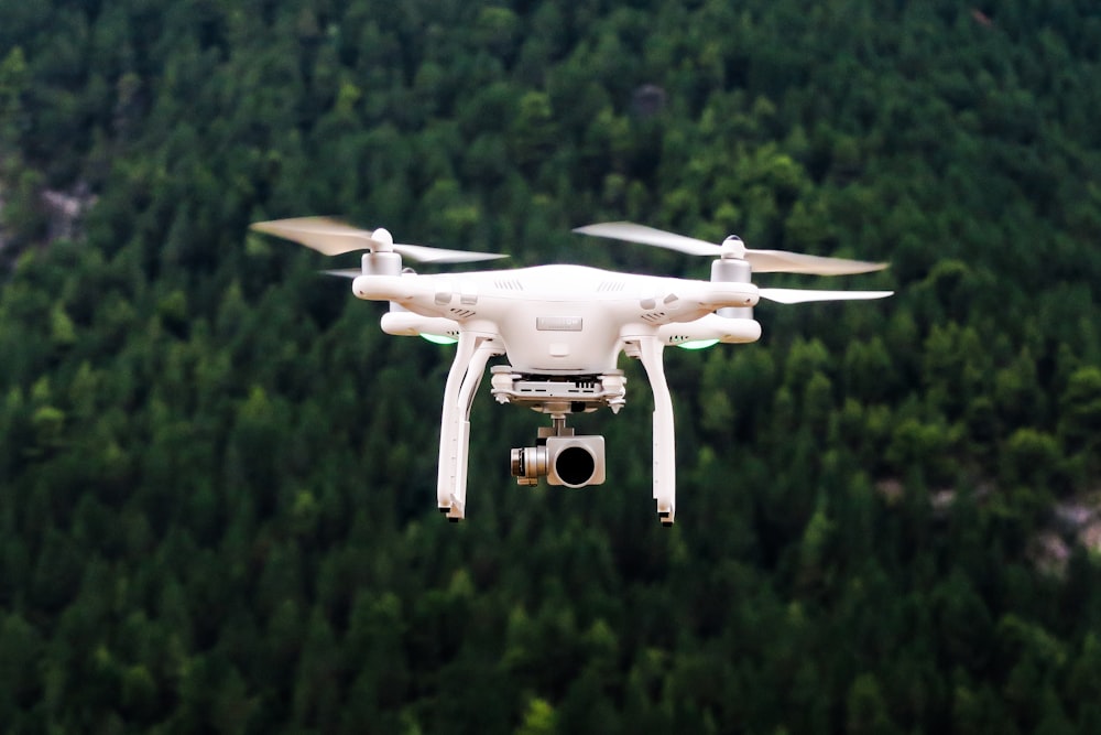
When mounted on a drone, LiDAR transforms what was once a weeks-long ground survey into a matter of hours. A skilled survey team working on foot might cover 5–10 hectares per day in moderate terrain. A drone LiDAR system operating at 100 metres above ground can map 200 hectares in a single flight – with equal or superior accuracy.
LiDAR vs Traditional Survey Methods
| Factor | Traditional Ground Survey | Drone LiDAR |
|---|---|---|
| Coverage per day | 5–20 ha | 200+ ha |
| Accuracy (h) | ±20mm | ±20–50mm |
| Point density | Low (spot heights) | Very high (50+ pts/m²) |
| Vegetation penetration | Manual clearing needed | Filters through canopy |
| Hazardous areas | Staff at risk | No ground access needed |
| Relative cost (large sites) | High | 30–60% lower |
Real-World Applications in South Africa
1. Mining – Stockpile Volumetrics
South African mining operations require monthly stockpile volume surveys that satisfy both internal management and external auditors. Traditional methods using total stations could achieve ±2–3% accuracy at best. LiDAR drone surveys routinely achieve ±0.3–0.5% – making them the new standard for audit-grade stockpile reporting.
2. Agriculture – Irrigation Design
Designing efficient irrigation systems requires detailed terrain models of entire farms. With LiDAR penetrating tree canopy to capture true ground level even in orchards and plantations, agricultural estates that were previously impossible to survey efficiently can now be mapped in a single day.
3. Infrastructure – Corridor Mapping
Roads, pipelines, and power line corridors often cross terrain that is expensive or dangerous to access on foot. Drone LiDAR can survey kilometres of corridor in hours, providing the terrain model that engineers need for alignment design and earthwork calculations.
"Our drone LiDAR surveys give us ±0.3% accuracy – far better than our previous manual methods – and the reports arrive the next morning after fieldwork."
— David Motsepe, Mines Manager, Limpopo
Is LiDAR Right for Your Project?
LiDAR is not always the best solution. For small urban sites, confined areas, or projects requiring sub-centimetre accuracy, terrestrial laser scanning or conventional total station survey may be more appropriate. The right methodology depends on your site size, terrain, required accuracy, timeline, and budget.
At Mathibe Geomatics, we assess each project individually and recommend the most cost-effective approach – whether that's drone LiDAR, terrestrial scanning, GNSS, or a combination of methods.
Ready to Explore LiDAR for Your Project?
Get a free 15-minute consultation and fixed-price quote within 24 hours.